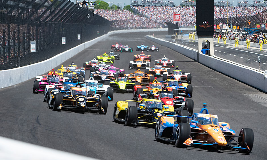
The 108th running of the Indianapolis 500 takes place on Sunday 26 May at the Indianapolis Motor Speedway, but forecasts suggest “The Greatest Spectacle in Racing" could be interrupted by severe weather across the Midwest.
Indianapolis 500 — Sunday 26 May — Latest Weather Forecast
First published: Saturday 25 May. Updated: Sunday 26 May.
This post will be updated as new forecast information is published.
All times local (EDT).
Prognosis
Unsettled conditions are expected across central Indiana on Sunday. According to the National Weather Service (NWS) Storm Prediction Center (SPC), widespread strong to severe thunderstorms will be possible across parts of the lower Missouri Valley into the Ohio and Tennessee Valleys, through Sunday and overnight into Monday. Multiple rounds of storms with a risk of large hail, damaging wind gusts, and a few tornadoes are possible from parts of east-central Missouri into central and southern Illinois and Indiana, much of Kentucky, and adjacent portions of northern Tennessee.

A first round of storms is expected late morning to mid-afternoon, approximately between 11:00 and 15:00. Some of these storms could be severe and produce heavy rainfall and isolated damaging wind gusts.
A second round of severe weather is expected between 18:00 and 01:00 on Monday. Between 18:00 and 20:00, isolated severe thunderstorms are possible, followed by a line of severe storms progressing east-southeast through the late evening and overnight.
The rounds of severe weather could produce locally heavy rainfall, with amounts of 6–12 mm possible. The NWS forecasts a 90 percent chance of precipitation across Sunday. The hourly risk of rainfall during the race window begins at 80–90 percent between 12:00–13:00, dropping to 10–30 percent by 16:00–17:00 following the first round of severe weather, before rising again to 50–60 percent by 22:00–00:00 as the second round of severe weather develops.
The a risk of damaging straight-line winds, large hail, and tornadoes has prompted the SPC to issue an “Enhanced Risk” (the third highest warning level) of severe weather in Indianapolis on Sunday, and the Weather Prediction Center (WPC) has issued a “Slight Risk” of excessive rainfall that could lead to the rapid onset of flooding.


There remains some uncertainty regarding the exact timing of the storms, the location of the greatest risk, the potential for thunderstorms in the morning, and the potential for a break in the showers during the afternoon.
At this time, the most likely scenario is that some racing could occur on Sunday afternoon in the lull between the two rounds of storms between 15:00 and 18:00, but it may be interrupted to varying extents. Whether there’s enough of a window to run the full race (it typically takes approximately three hours to run the 200 laps) or to half-distance to declare a winner is still uncertain.
What Happens if it Rains?
IndyCar will likely do all it can to run the race on Sunday as scheduled, but depending on the timing and intensity of any rainfall, the race may be temporarily interrupted, shortened, or, as a last resort, possibly run on Monday.
The 4.0 km (2.5 mi) speedway takes approximately 80–90 minutes to dry from a fully wet conditions, and under an hour if only lighter rain falls, so the length of any delay will ultimately be dependant on the amount of rainfall and that rainfall stopping.
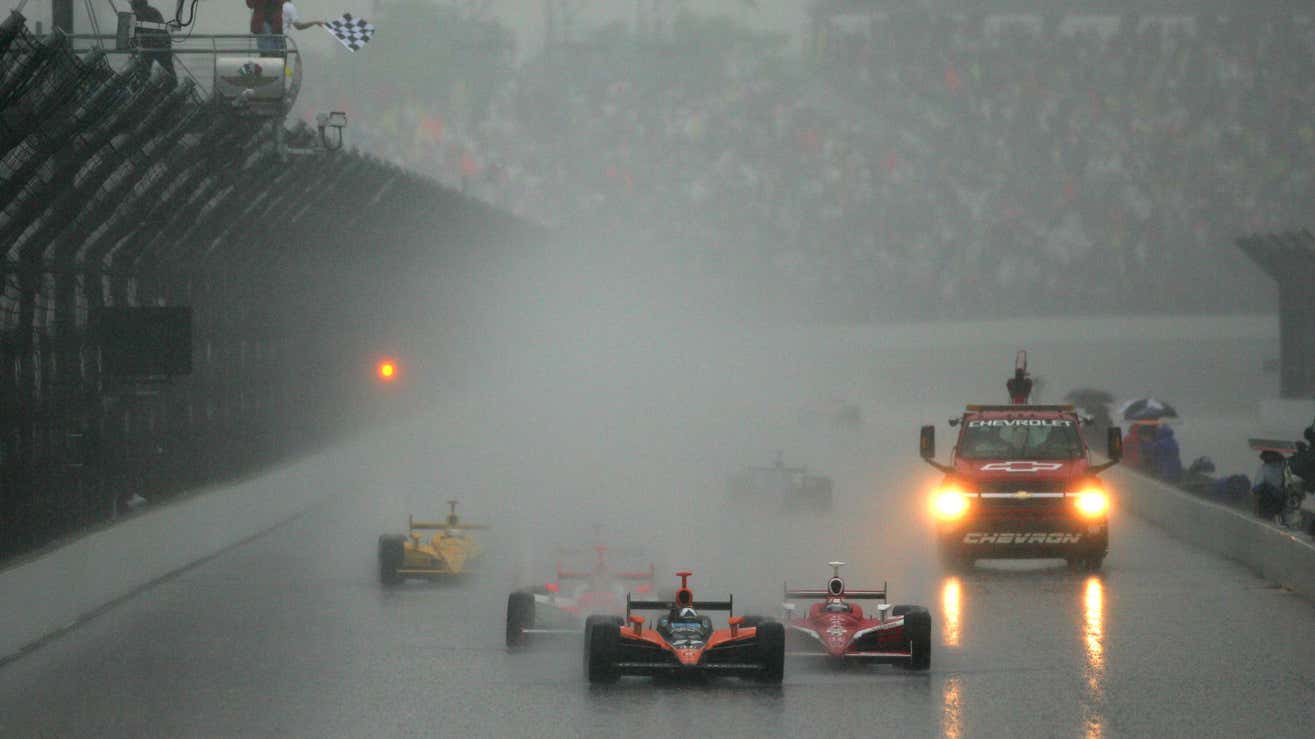
There have been three occasions when the Indy 500 has been completely postponed due to bad weather (1915, 1986, and 1997), two occasions where it has been partially postponed (1967 and 1973), and seven occasions when bad weather resulted in a shortened distance (1926, 1950, 1973,1975, 1976, 2004, and 2007).
Regardless of whether or not it rains, lightning in the vicinity (within 12 km radius) of the circuit will force IndyCar to halt the action for at least 30 minutes.
For the latest Indianapolis 500 weather forecast and information, follow MeteoMotorsport on X/Twitter.